
 Skip to content


Learn More +
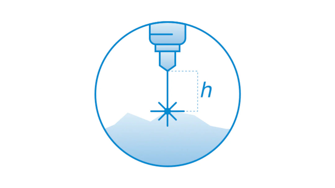
Allows following terrain with very high precision on low altitude using an altimeter sensor.
Requires
For new customers, it is recommended to order a combo consisting of software, hardware, and training.
Supported drones and autopilots:
- DJI M350 RTK
- DJI M300 RTK
- Pixhawk-compatible autopilots (Cube, etc.) with ArduCopter firmware
It is the customer's responsibility to check the possibility to use a 24Ghz altimeter in a particular country.
Laser altimeter: can be used in any country, but works not so reliable in diverse environmental conditions and over high-reflective surfaces like water, ice, snow, and sand (under the bright sun).