
 Ir directamente al contenido


Mining Drone & Robotics Solutions
Subsurface mapping, stockpile measurement, and hazardous-area inspection tools for mine operators who can't always send people in first.
How Mining Teams Use This
Subsurface & Geological Mapping
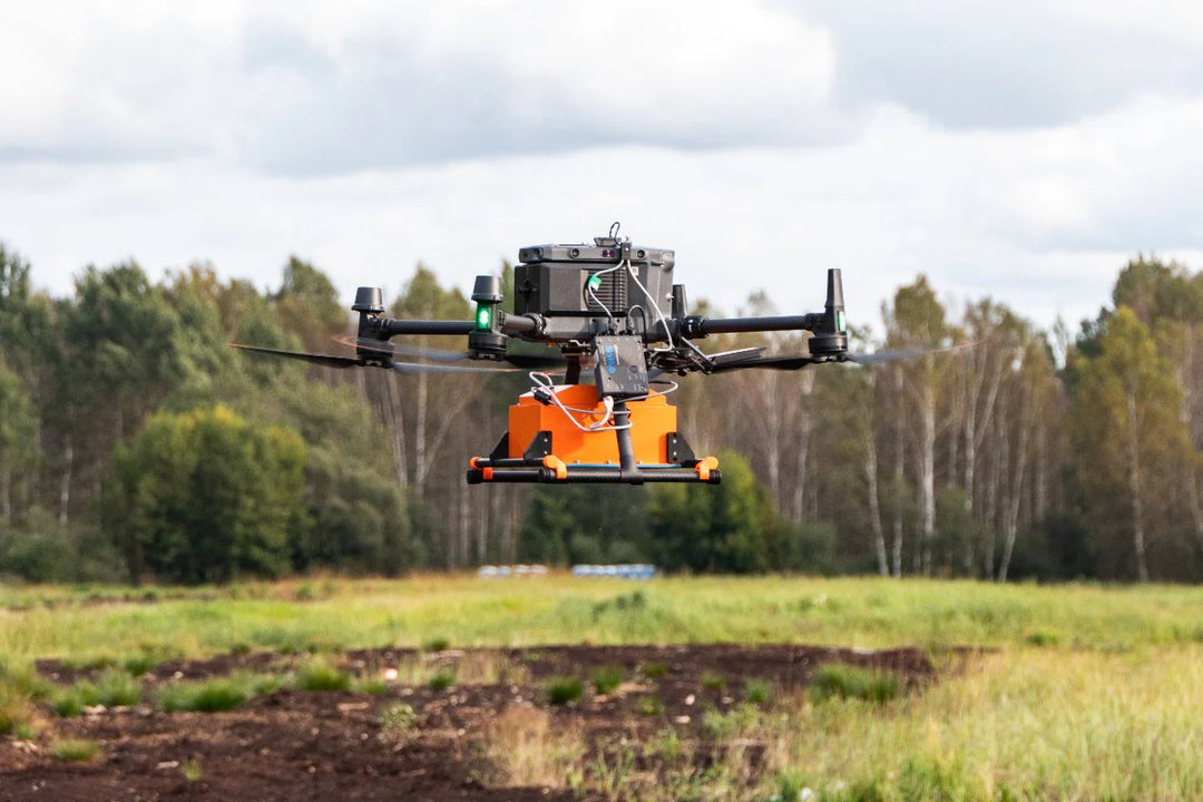
Ground penetrating radar units map subsurface structure and detect voids or anomalies ahead of excavation, supporting geotechnical and safety planning.

Stockpile & Volumetric Measurement
Magnetometer and aerial data collection support volumetric estimates of stockpiles and excavated material, helping reconcile inventory without manual measurement.

Hazardous-Area Inspection via Ground Robots
Ground robotic platforms enter confined or hazardous areas — tunnels, unstable faces, post-blast zones — to capture visual and sensor data before personnel are committed.
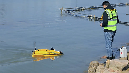
UNDERWATER MAPPING & TAILINGS POND SURVEYS
Autonomous surface vessels and drone-based bathymetric systems map underwater terrain, measure sediment buildup, monitor tailings storage facilities, and calculate dredging volumes. These surveys provide accurate depth and volume data while eliminating the need for personnel to access hazardous water environments.
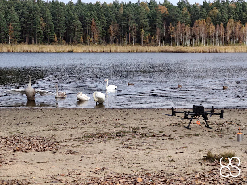
ENVIRONMENTAL & WATER MANAGEMENT MONITORING
Monitor tailings ponds, stormwater systems, runoff channels, and reclamation sites with aerial and ground-based sensors. Drone data supports regulatory compliance, environmental reporting, erosion assessment, and long-term site management.
Browse our mining equipment below and request a quote on any product. We can help match sensor packages to your site conditions.


Need More Info?
Contact Us