DJI Mavic 3 Multispectral

DJI Mavic 3 Multispectral

Regular price$ 5,699.00
/
Shipping calculated at checkout.
Supplier: DJI

Model
  • In stock, ready to ship
  • Backordered, shipping soon
Toggle HubSpot Form

Overview

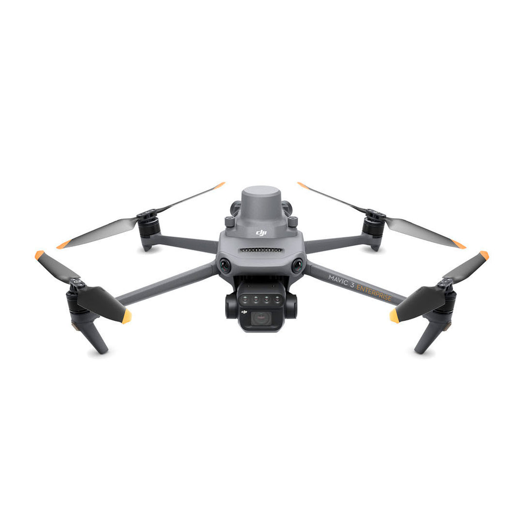
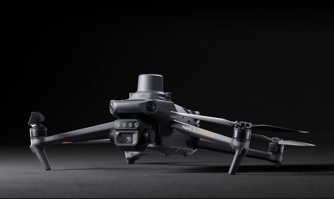
The DJI Mavic 3 Multispectral is a precision agricultural mapping drone combining a 4/3 CMOS RGB camera with a multispectral imaging system — delivering centimeter-level positioning via integrated RTK for high-accuracy crop health analysis and aerial surveying without ground control points.

Multispectral Precision. RTK Accuracy. Mission-Ready.
The Mavic 3 Multispectral captures RGB and four-band multispectral imagery — Green, Red, Red Edge, and Near-Infrared — in a single efficient pass. With the RTK module, flight control, camera, and positioning data sync in microseconds for centimeter-level accuracy at every image center. No ground control points required. Available in standard (M3M) and RTK-equipped (M3M with RTK) configurations, it delivers the data quality precision agriculture demands at a compact, deployable form factor.

Four-Band Multispectral Imaging

Captures Green, Red, Red Edge, and Near-Infrared bands simultaneously alongside RGB — generating accurate NDVI and crop health indices across large areas in a single flight.

Centimeter-Level RTK Positioning

The integrated RTK module syncs with flight control and camera systems in microseconds — delivering precise image geolocation for high-accuracy aerial surveys without ground control points.

Compact. Deployable. Field-Ready.

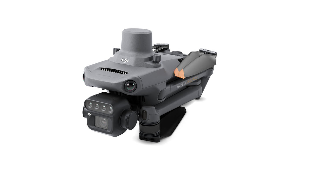
The Mavic 3M's foldable design and rapid deployment make it the most operationally flexible multispectral mapping platform in its class — ready to fly from virtually any location.

Learn More +

See What the Eye Can't. Act on What the Data Shows.

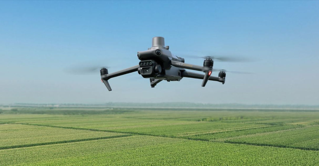
The DJI Mavic 3 Multispectral is a precision agricultural mapping platform that combines a 4/3 CMOS RGB camera with a four-band multispectral imaging system — capturing Green, Red, Red Edge, and Near-Infrared data in a single pass. The result: accurate NDVI crop health maps, actionable field intelligence, and high-precision aerial surveys at a scale and speed no ground-based method can match.

RTK Accuracy. No Ground Control Points Required.

The optional RTK module delivers centimeter-level positioning accuracy by syncing flight control, camera, and RTK data in microseconds — precisely recording the location of each image's center. High-accuracy surveys without the setup overhead of ground control points.

  • 4/3 CMOS RGB camera + four-band multispectral system (G/R/RE/NIR)
  • RTK module for centimeter-level positioning accuracy
  • High-precision aerial surveying without ground control points
  • NDVI and crop health index generation in a single flight
  • Compact, foldable design for rapid field deployment
  • Available in standard (M3M) and RTK-equipped configurations

The Most Deployable Multispectral Platform in Its Class.

The Mavic 3M's foldable form factor and streamlined workflow make precision agriculture mapping accessible from virtually any location — without the logistics of larger fixed-wing or heavy-lift platforms. Fly more fields. Get better data. Make faster decisions.


Recently viewed

