



Industries / Surveying
Survey-grade data from the air, the ground and the waterline
Mapping drones, LiDAR robots and survey boats that capture accurate data across sites, structures and waterways with fewer people and fewer days.
By air, land and sea
Surveying solutions for every terrain
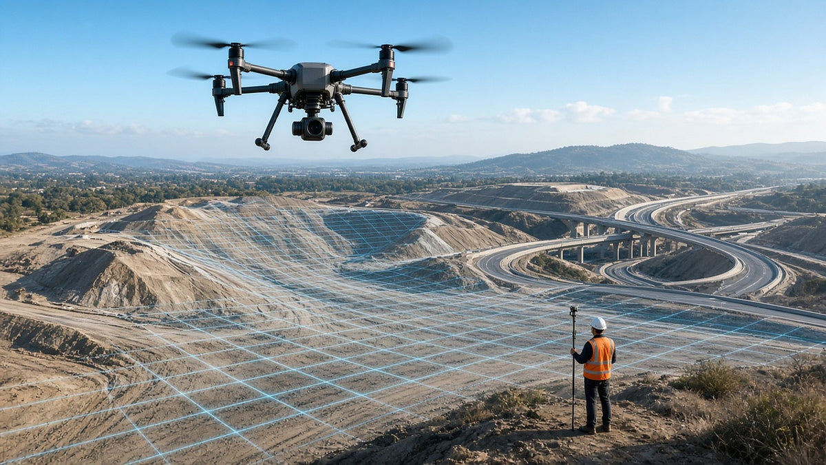
Mapping drones and LiDAR
Fly corridors and large sites with RTK drones and LiDAR or photogrammetry payloads.
Explore Air →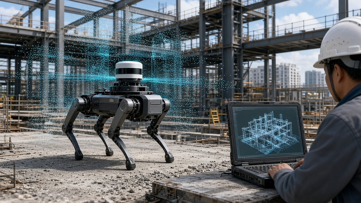
Scanning robots
Walk a LiDAR scanner through buildings, tunnels and active job sites to capture every room and structure.
Explore Land →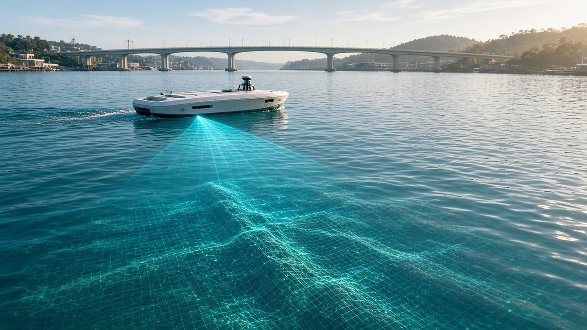
Survey boats
Map riverbeds, harbors and reservoirs with uncrewed survey boats carrying sonar.
Explore Sea →What teams use it for
Built for surveying work
Topographic surveys
Produce surfaces, contours and orthomosaics for design and planning.
Construction progress
Track earthwork and progress against plan, week over week.
Volume measurement
Measure stockpiles and cut and fill quickly and safely.
Corridor mapping
Map roads, rail, pipelines and power lines in long runs.
As-built scans
Capture point clouds of structures and interiors.
Hydrographic survey
Chart water depth and the bottom for dredging and design.
Featured gear
Featured Surveying gear
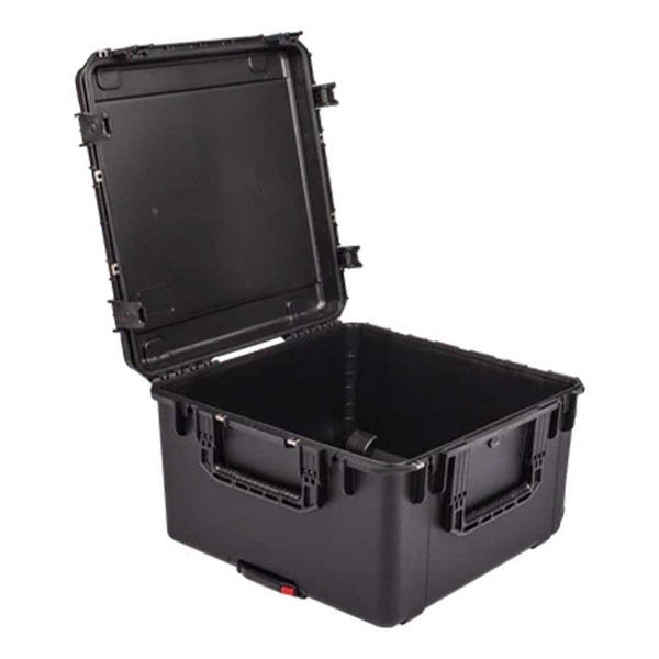
Aeropoint Mil-Spec Case by SKB
$ 399.00
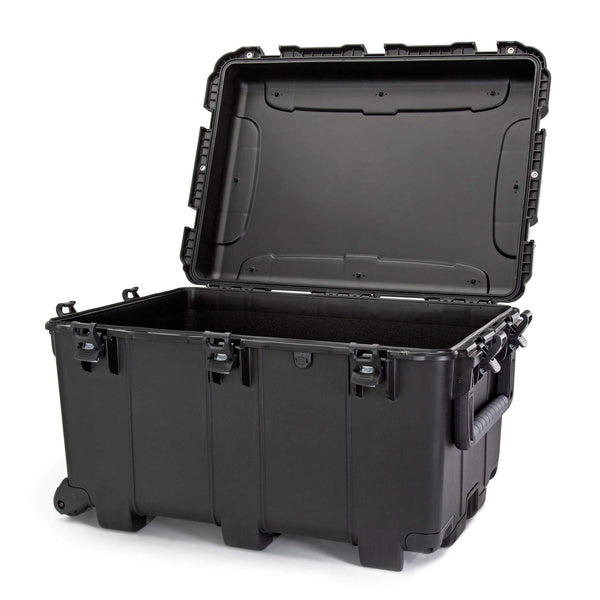
Aeropoint Military Spec Case by NANUK — NANUK 975W Hard Case
$ 450.00
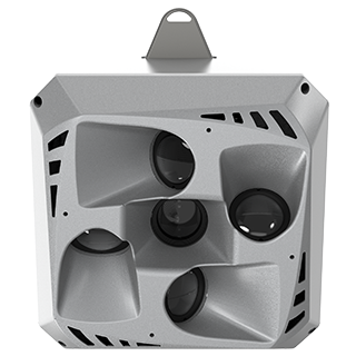
CHCNAV UAV Imaging Systems
From $ 7,800.00
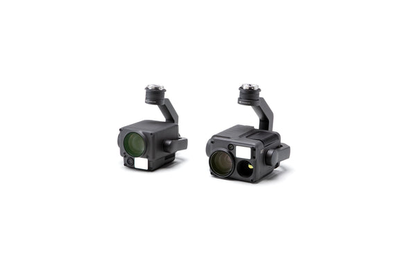
DJI Zenmuse H20 Series
$ 7,000.00
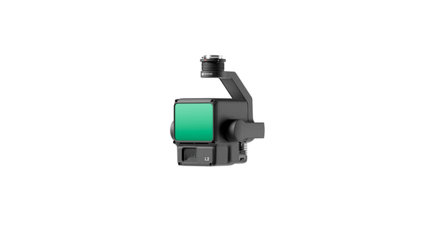
DJI Zenmuse L2 | High-Precision Aerial LiDAR System
$ 13,999.00

DJI Zenmuse P1 Full-Frame Photogrammetry Camera
$ 7,299.00
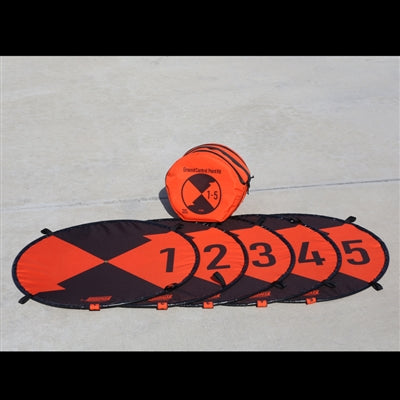
Ground Control Point Kit (For Photogrammetry Surveying)
From $ 499.99
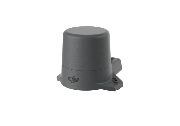
Mavic 2 Enterprise Advanced RTK Module
$ 375.00
See it in the field
See it in the field
Talk to your regional director
Work with a Maverick director in your region

Adam Shaw
Regional Director
MN, SD, ND, NE, IA, WI and International
218.231.0981 adam.shaw@maverickdrone.com
Colton Reschke
Regional Director
WA, OR, CA, NV, ID, MT, WY, UT, CO, AZ, NM, TX, OK, KS, AK, HI, plus Guam
218.514.6038 colton.reschke@maverickdrone.com
Justyn Hermel
Regional Director
MO, AR, LA, IL, IN, MI, OH, KY, TN and everything east, plus DC and Puerto Rico
218.585.6274 justyn@maverickdrone.comNot sure who covers you? Call our main line 612.808.9838
Get the right survey kit for your crew
Tell us about your projects, and we'll match the aircraft, payloads, robots and software to the accuracy you need.
Scenes shown are illustrations.