
 Skip to content


UAV Agriculture solutions
Equip your operation with mapping, monitoring, and spraying-class aerial platforms built for production-scale fields, not backyard plots.
How Agriculture Teams Use This

Crop Health Monitoring
Multispectral and high-resolution imaging flights identify stress, disease, and irrigation issues across large acreage faster than ground scouting, giving agronomy teams data to act on before yield loss compounds.

Field Mapping & Yield Planning
Aerial mapping platforms generate accurate field boundaries, elevation data, and plant-count estimates that feed directly into planting and input-application plans.

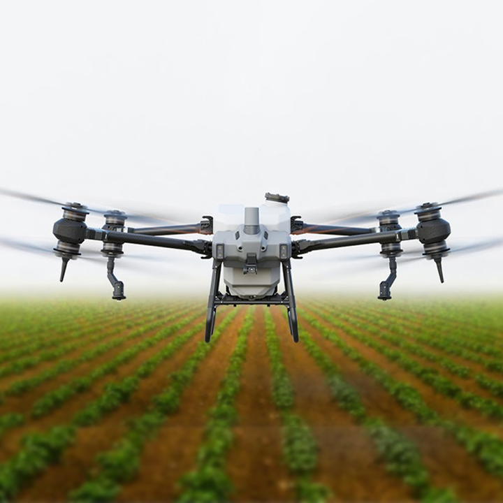
Spraying-Class Application
Spray-capable platforms apply crop inputs with tighter coverage control than manned aircraft on smaller or irregular plots, reducing overspray and input waste.
Recommended Equipment


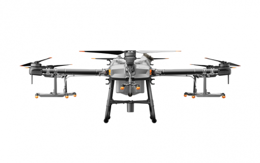
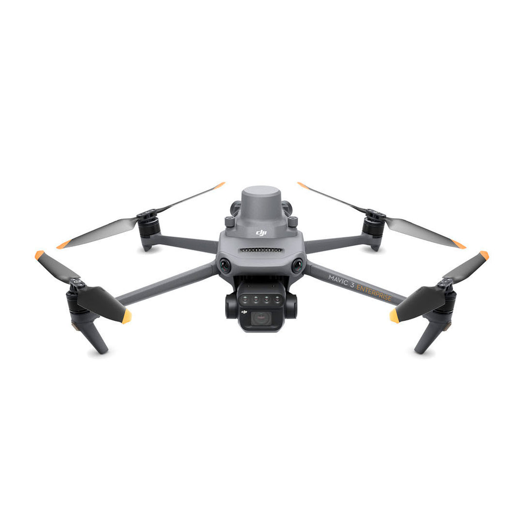
Agriculture Drones


At Maverick Drone Systems, we want to help farmers get back to doing what they do best.
Contact us today to learn more about how our agricultural crop surveillance system can increase your crop yields.