




 Authorized GeoCue Distribution Partner
Brands / GeoCue TrueView LiDAR and LP360 software
GeoCue TrueView Drone LiDAR and LP360 Software
TrueView aerial and handheld LiDAR, LP360 processing software, ground control, training and rentals from GeoCue, sold and supported by Maverick, an official GeoCue distribution partner. One connected workflow from data collection to classification, QA/QC and final deliverables.
GeoCue official video
Drone LiDAR and mobile mapping, one workflow
Video: Dual Mobile Mapping and Drone LiDAR. Source: TrueView by GeoCue official YouTube channel.
Pick your platform
Aerial, handheld and software
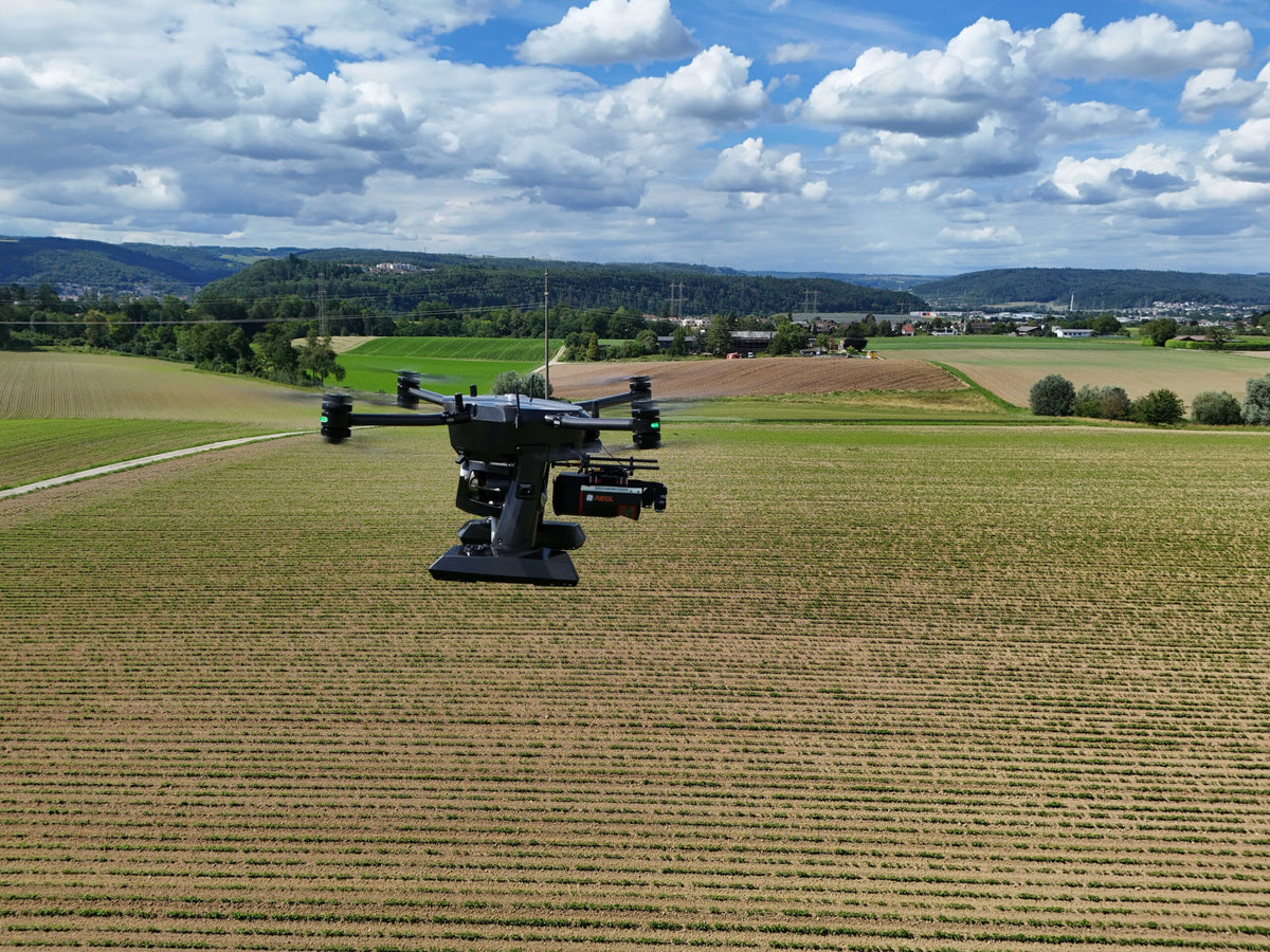
TrueView 1 to TrueView 720
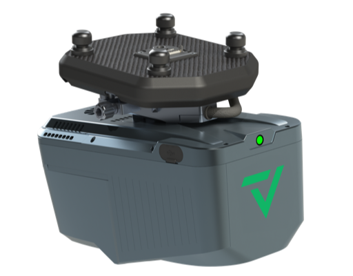
Integrated LiDAR and imaging payloads for professional drone survey and mapping.
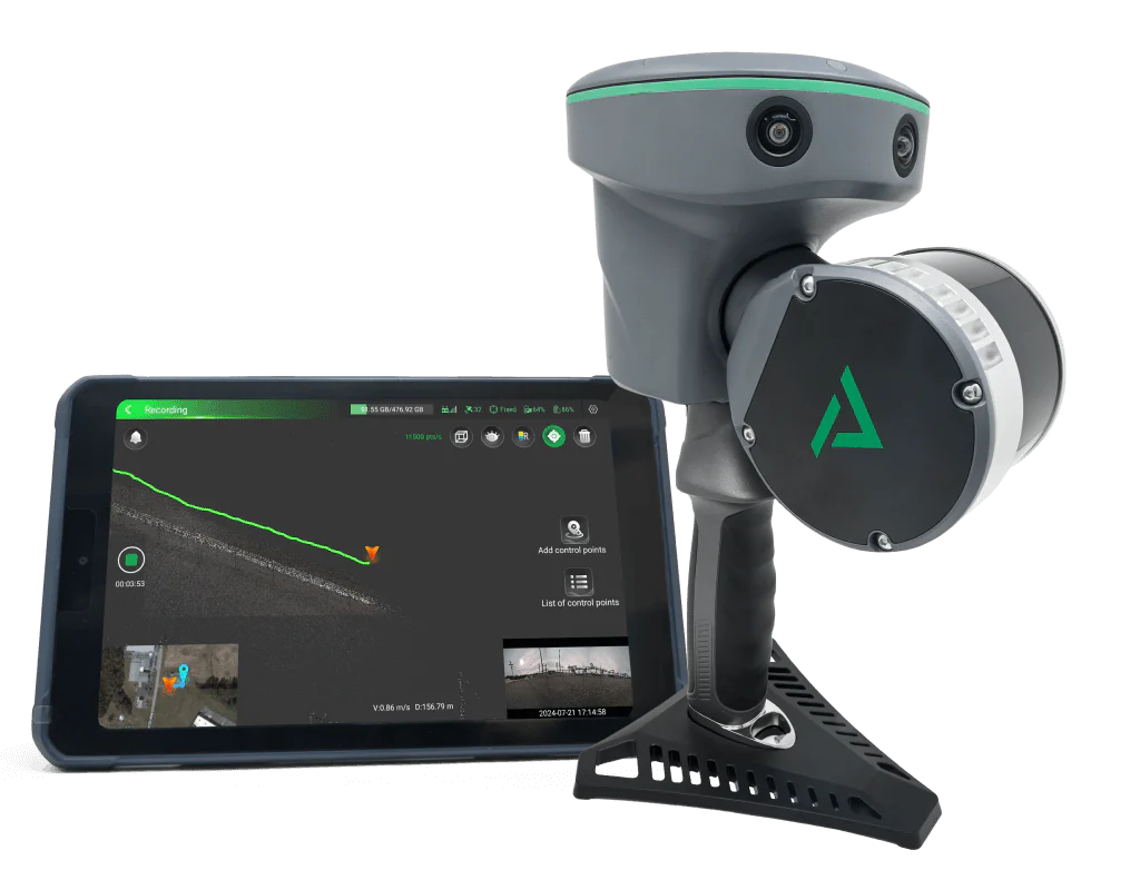
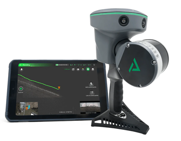
TrueView GO
Handheld SLAM scanners from $11,500, with mobile mapping kits for vehicles.
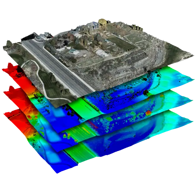
LP360
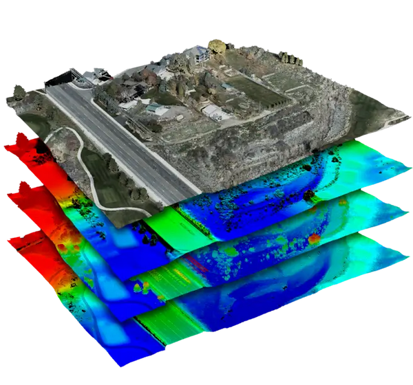
Point cloud processing, classification, QA/QC and deliverables, from $1,095.
Watch them in action
TrueView and LP360 at work
Official GeoCue videos. Click a video to play it; nothing loads from YouTube until you do.
Handheld SLAMTrueView GO by GeoCue
LP360 AILP360 Automatic AI Ground Classification
LP360 DroneHow to Explore Point Clouds with the Immersive Image Explorer in LP360
VolumesHow to Easily Calculate Volumetrics with LiDAR
These videos are produced by GeoCue, not Maverick. Sources: LIDARLAB (GeoCue) YouTube channel and the TrueView by GeoCue channel.
Shop the collection
Every GeoCue solution at Maverick
27 products
LiDAR plus imaging, from TrueView 1 Lite to TrueView 720
TrueView drone LiDAR payloads
Integrated LiDAR, imaging and precision positioning payloads for professional drone survey and mapping, including NDAA-compliant options. Pair with LP360 for a connected workflow from collection to deliverable.
GeoCue
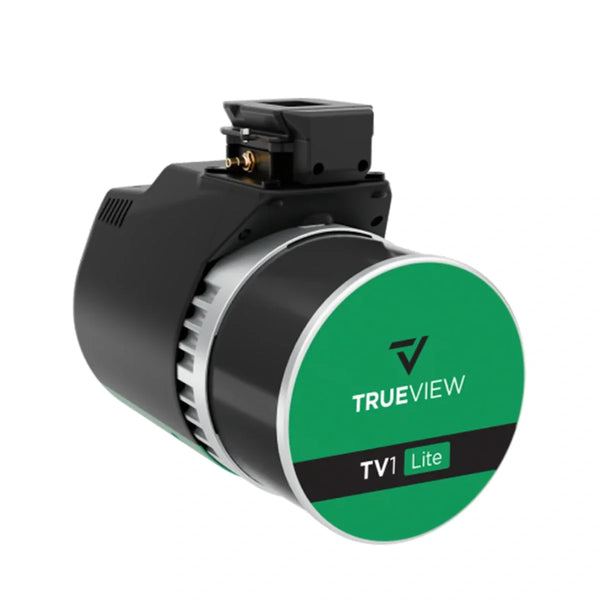
GeoCue TrueView 1 Lite Payload
From $ 22,890.00
View details →
GeoCue
GeoCue TrueView 1 NDAA Drone LiDAR and 26MP Mapping Camera
From $ 45,000.00
View details →
GeoCue
GeoCue TrueView 1 NDAA UL Lightweight Drone LiDAR with Direct Colorization
From $ 40,000.00
View details →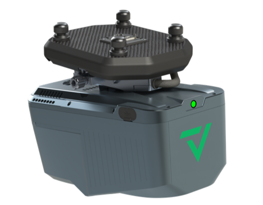
GeoCue
GeoCue TrueView 500 Series UAV LiDAR and Imaging System
From $ 52,500.00
View details →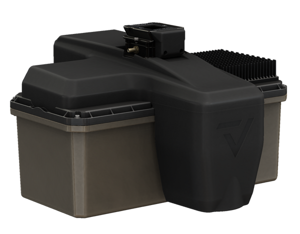
GeoCue
GeoCue TrueView 600 Series Enterprise UAV LiDAR and Imaging System (NDAA-Compliant)
From $ 60,000.00
View details →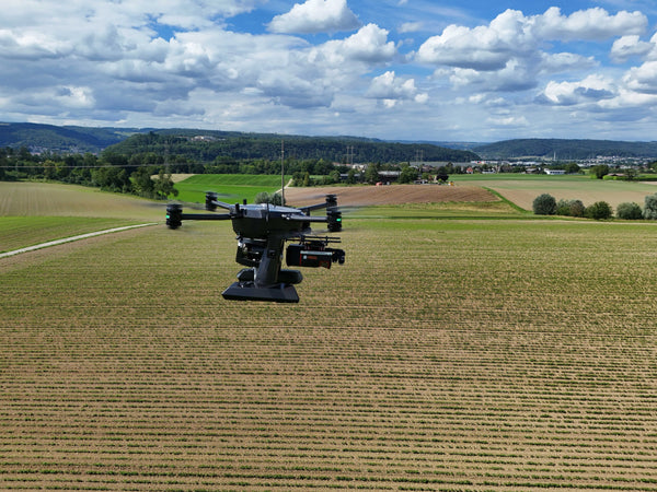
GeoCue
GeoCue TrueView 720 Flagship UAV LiDAR and Imaging System (NDAA-Compliant)
$ 315,000.00
View details →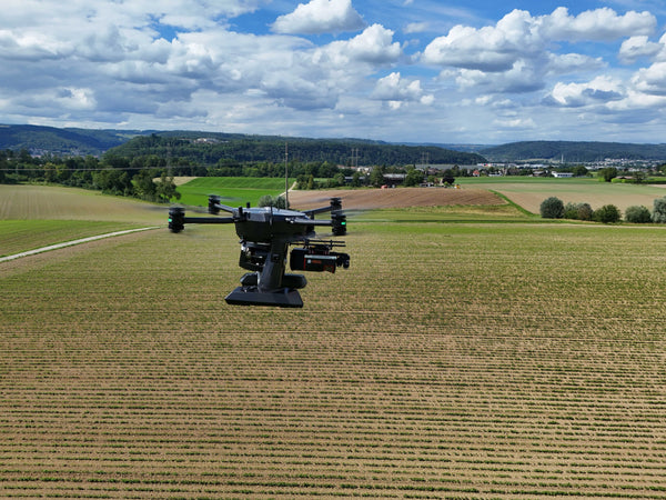
GeoCue
GeoCue TrueView 720 Camera Options
From $ 6,000.00
View details →TrueView GO SLAM scanners and vehicle kits
Handheld and mobile mapping
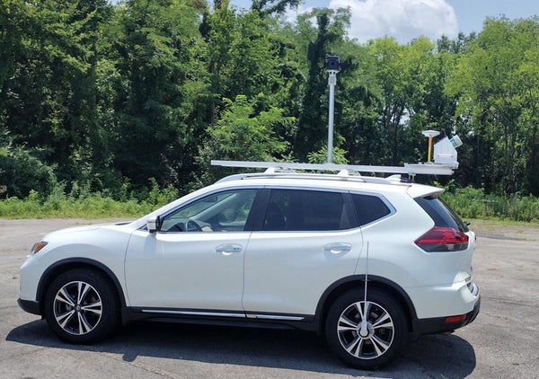
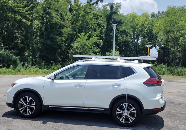
TrueView GO handheld SLAM scanners for walk-through capture, plus TrueView mobile mapping kits and services for vehicle-based collection.
Drone, Geospatial, Land and Cloud
LP360 software, maintenance and renewals
LP360 Drone, Geospatial, Land and Cloud licenses, add-ons, software maintenance and TrueView maintenance plans and annual renewals.
GeoCue
GeoCue LP360 | Professional LiDAR and Drone Point Cloud Processing Software
From $ 1,095.00
View details →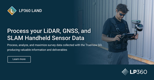
GeoCue
GeoCue LP360 Land Handheld LiDAR and SLAM Processing Software
From $ 900.00
View details →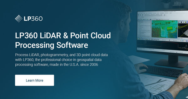
GeoCue
GeoCue LP360 Cloud Collaborate Subscription
From $ 125.00
View details →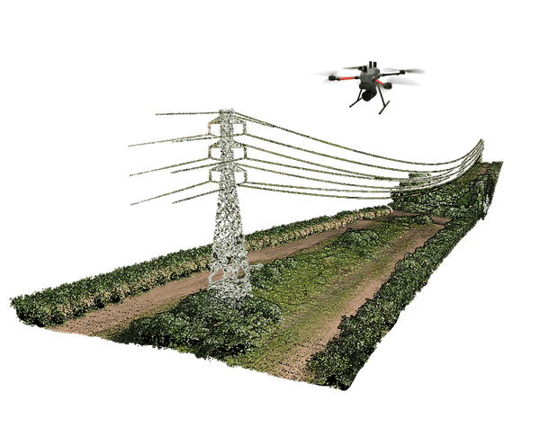
GeoCue
GeoCue LP360 Drone 12-Month Add-Ons
From $ 530.00
View details →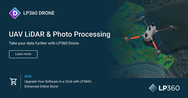
GeoCue
GeoCue LP360 Drone Perpetual License Annual Maintenance
From $ 220.00
View details →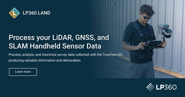
GeoCue
GeoCue LP360 Geospatial and LP360 Land Annual Maintenance
From $ 600.00
View details →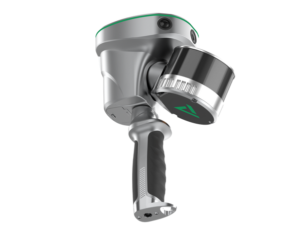
GeoCue
GeoCue TrueView GO Software Upgrades
From $ 1,200.00
View details →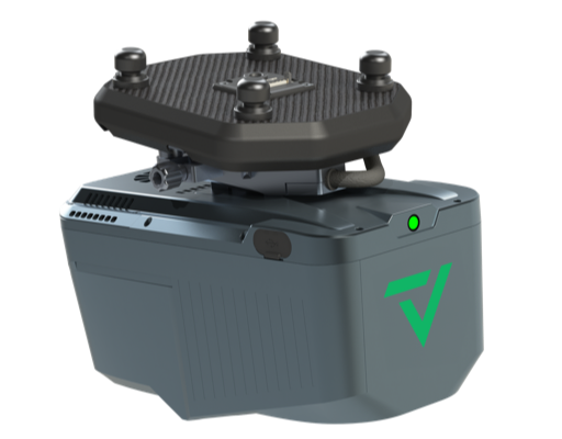
GeoCue
GeoCue TrueView Hardware Maintenance Plans
From $ 1,598.00
View details →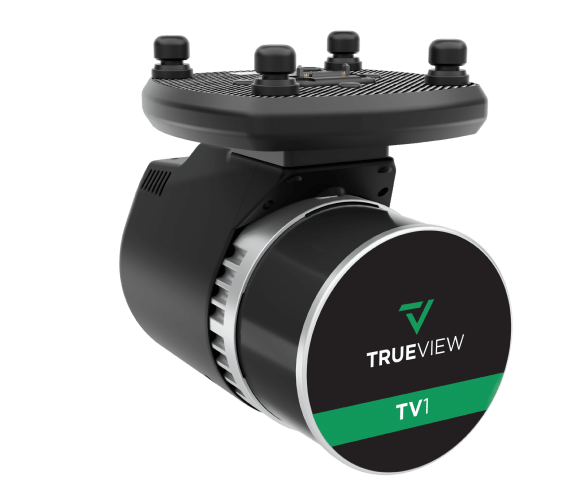
GeoCue
GeoCue TrueView 1 Annual Renewal
From $ 3,500.00
View details →Accuracy Stars, targets, mounts and spares
Ground control and accessories
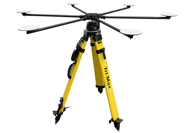
Accuracy Star and concentric targets for control, drone mounting kits, and sensor and TrueView GO accessories.
GeoCue
GeoCue TrueView Accuracy Star Drone LiDAR Target
$ 1,550.00
View details →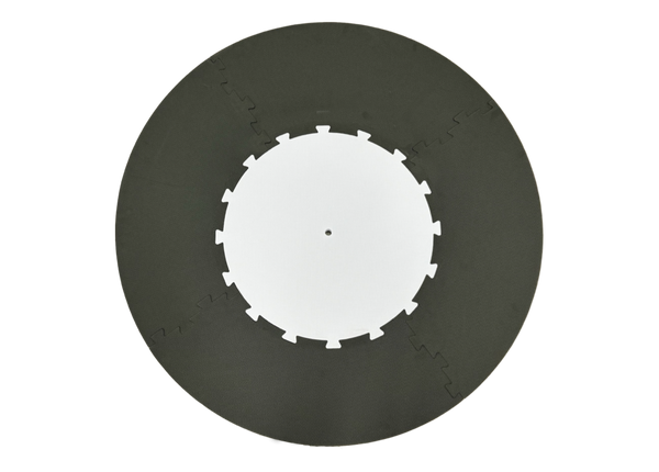
GeoCue
GeoCue LP360 Concentric Target (60 inch) for Drone LiDAR
$ 560.00
View details →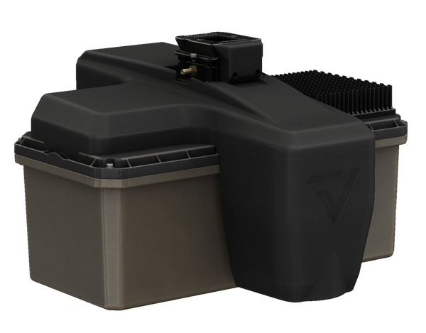
GeoCue
GeoCue TrueView Drone Mounting Kits
From $ 515.00
View details →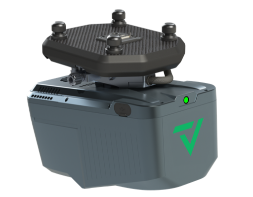
GeoCue
GeoCue TrueView Sensor Accessories
From $ 240.00
View details →
GeoCue
GeoCue TrueView GO Accessories and Parts
From $ 40.00
View details →Get flying and processing faster
Training, demos and rentals
TrueView and LP360 training, an on-site demonstration and TrueView LiDAR rentals.

Use cases
Where GeoCue goes to work
Terrain mapping and survey
Topographic surfaces, DTMs and contours from drone LiDAR and LP360.
Volumetric analysis
Stockpile and earthwork volumes with LP360 volume tools.
Construction documentation
Repeatable capture and progress records for active sites.
Infrastructure mapping
Aerial, handheld and vehicle-based capture of assets and facilities.
Corridor surveying
Utility and transmission corridors, with LP360 AI Utilities for wires and structures.
Forestry
Canopy, tree and ground classification with LP360 AI Forestry.
Distribution partner
GEOCUE
“Adam and the Maverick team bring the kind of hands-on experience and customer-focused support we look for in our distribution partners.” Chuck Snow, Eastern U.S. Sales Manager, GeoCue
Questions
Choosing GeoCue TrueView and LP360
Is Maverick an authorized GeoCue partner?
Yes. GeoCue named Maverick a TrueView and LP360 distribution partner in 2026. Maverick primarily serves Minnesota and the Upper Midwest and supports customers across the United States with demonstrations, system selection, training and ongoing technical guidance.
Which TrueView drone LiDAR payload should I choose?
The TrueView lineup runs from the TrueView 1 Lite and TrueView 1 family through the 500 and 600 Series to the flagship TrueView 720. The right one depends on your accuracy requirements, application, aircraft and budget. Call 612.808.9838 and a Maverick specialist will match a system to your work.
Are NDAA-compliant TrueView systems available?
Yes. The TrueView 1 NDAA, TrueView 600 Series and TrueView 720 are listed as NDAA-compliant. GeoCue describes its portfolio from the TV1 NDAA through the TrueView 720 as one of the most complete NDAA-compliant LiDAR portfolios on the market.
What software processes TrueView data?
LP360. LP360 Drone post-processes TrueView data into a LAS point cloud, colorizes it and geotags images, then provides QA/QC, classification, 3D editing, volumes and surfaces. LP360 Land handles TrueView GO handheld data, and LP360 Geospatial covers airborne and terrestrial point clouds.
Can I rent or demo a TrueView system?
Yes. TrueView LiDAR rentals, an on-site demo and TrueView and LP360 training are listed in this collection. Call 612.808.9838 to schedule.
Talk to your regional director
Work with a Maverick director in your region

Adam Shaw
Regional Director
MN, SD, ND, NE, IA, WI and International
218.231.0981 adam.shaw@maverickdrone.com
Colton Reschke
Regional Director
WA, OR, CA, NV, ID, MT, WY, UT, CO, AZ, NM, TX, OK, KS, AK, HI, plus Guam
218.514.6038 colton.reschke@maverickdrone.com
Justyn Hermel
Regional Director
MO, AR, LA, IL, IN, MI, OH, KY, TN and everything east, plus DC and Puerto Rico
218.585.6274 justyn@maverickdrone.comNot sure who covers you? Call our main line 612.808.9838
Talk to a Maverick LiDAR specialist
Tell us your accuracy needs, aircraft and deliverables, and we will recommend the right TrueView and LP360 setup. Call 612.808.9838.
About GeoCue at Maverick
Maverick is an official GeoCue distribution partner for TrueView aerial LiDAR systems and LP360 geospatial processing software. Shop TrueView drone LiDAR payloads, TrueView GO handheld scanners, mobile mapping, LP360 software and maintenance, ground control targets, accessories, training, demos and rentals. Call 612.808.9838.