


 Skip to content


Overview

The DJI Matrice 400 RTK sets the standard for enterprise UAS platforms — combining class-leading endurance, precision positioning, and a modular payload architecture that adapts to your mission, not the other way around. Whether you're running nighttime search and rescue, autonomous dock-based infrastructure inspection, or survey-grade mapping at altitude, the M400 is engineered to perform where other platforms stop.
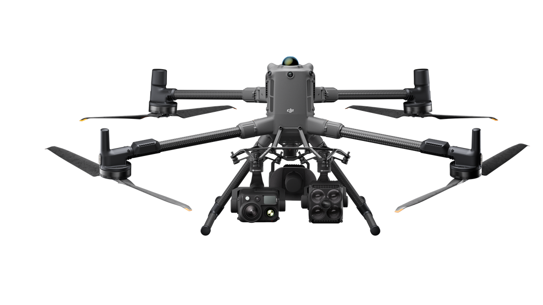
Automated power line inspection with mmWave radar rated to detect 12mm conductors at 50m. Pair with Zenmuse H30T for simultaneous visible and thermal imaging of substations, transmission lines, and solar arrays. One flight can replace days of manual inspection.
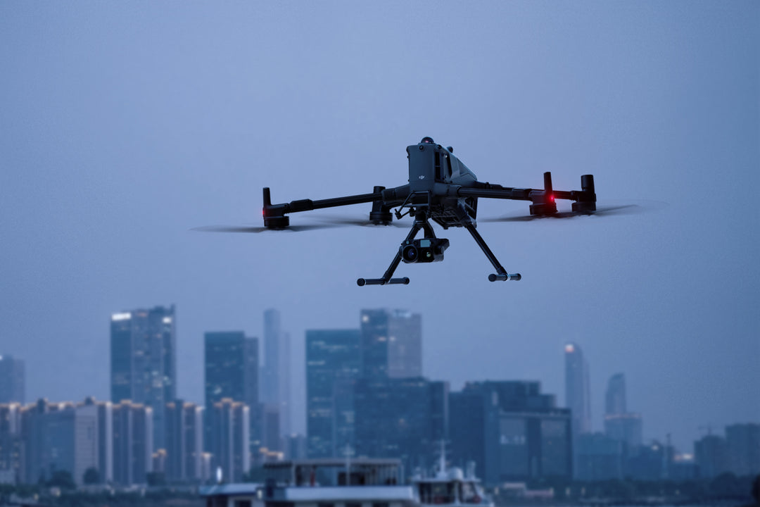
59-minute endurance and Starlight-grade FPV let first responder teams maintain persistent aerial awareness over large incident areas. Subject tracking, vehicle detection, and vessel monitoring are built into the H30/H30T payload — no additional software required.
RTK accuracy of 1 cm + 1 ppm horizontal and 1.5 cm + 1 ppm vertical, paired with the Zenmuse P1 or L3, delivers survey-grade output that holds up to professional deliverable standards. GCP-free workflows reduce field time significantly.
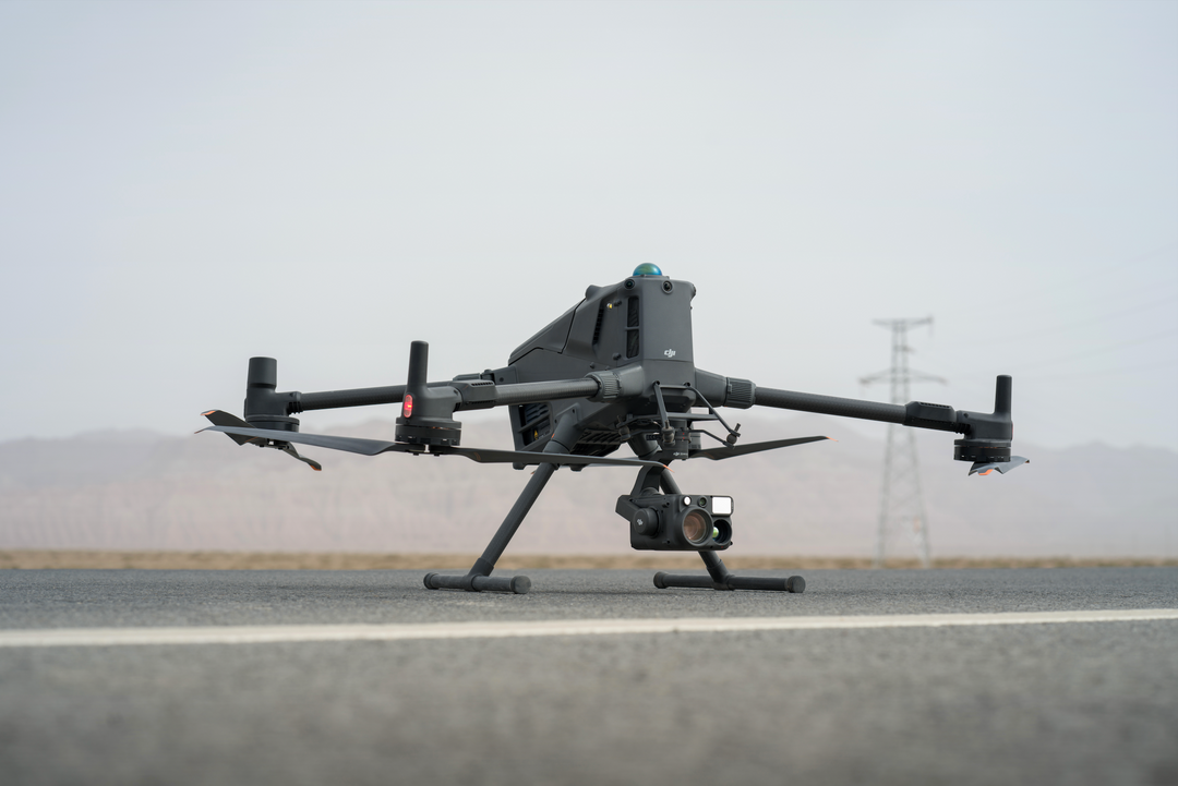
IP55 weatherproofing, -20°C to 50°C operating range, and support for up to 7,000m altitude mean the M400 goes where your assets are — remote pipelines, offshore platforms, and high-altitude facilities included.
High-resolution grid photo support and advanced tracking make the M400 the platform of choice for progress documentation, volumetric analysis, and infrastructure condition assessment at scale.
| Payload | Type | Best For |
|---|---|---|
| Zenmuse H30 | Visible + 30× optical zoom | Inspection, public safety |
| Zenmuse H30T | Visible + thermal + zoom | Search & rescue, energy inspection |
| Zenmuse L3 | LiDAR + RGB | Corridor mapping, forestry |
| Zenmuse L2 | LiDAR + RGB | Survey, AEC |
| Zenmuse P1 | Full-frame RGB camera | Survey-grade photogrammetry |
| Zenmuse S1 | Spotlight | Nighttime operations |
| Zenmuse V1 | Speaker | Public safety, crowd management |
| Max Flight Time | 59 minutes |
| Max Payload | 6 kg |
| Transmission Range | 40 km (FCC) |
| RTK Accuracy | 1 cm + 1 ppm horizontal |
| Max Speed | 25 m/s |
| Wind Resistance | 12 m/s |
| Operating Temp | -20°C to 50°C |
| Max Altitude | 7,000 m |
| IP Rating | IP55 |
| Obstacle Sensing | Omnidirectional + rotating LiDAR + mmWave radar |
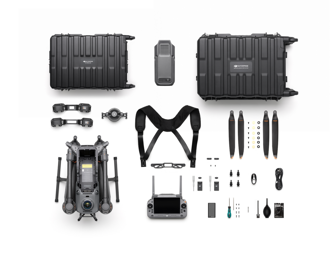
| Simultaneous Payloads | Up to 7 |
| Battery Charge Time | 45 min (220V fast charge) |
The DJI Matrice 400 RTK is manufactured by DJI (China) and is not NDAA Section 889 compliant. It is suitable for commercial enterprise, state and local government, and non-federal public safety operations. For programs requiring NDAA-compliant platforms, see the Inspired Flight IF800 — a U.S.-manufactured enterprise drone with comparable capability.