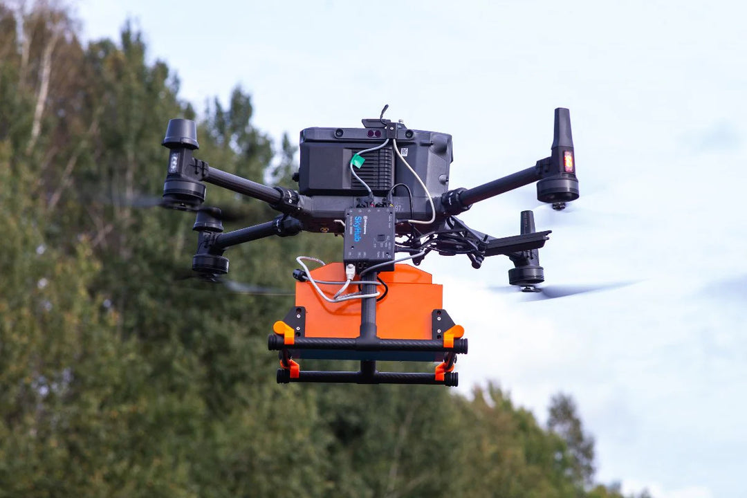
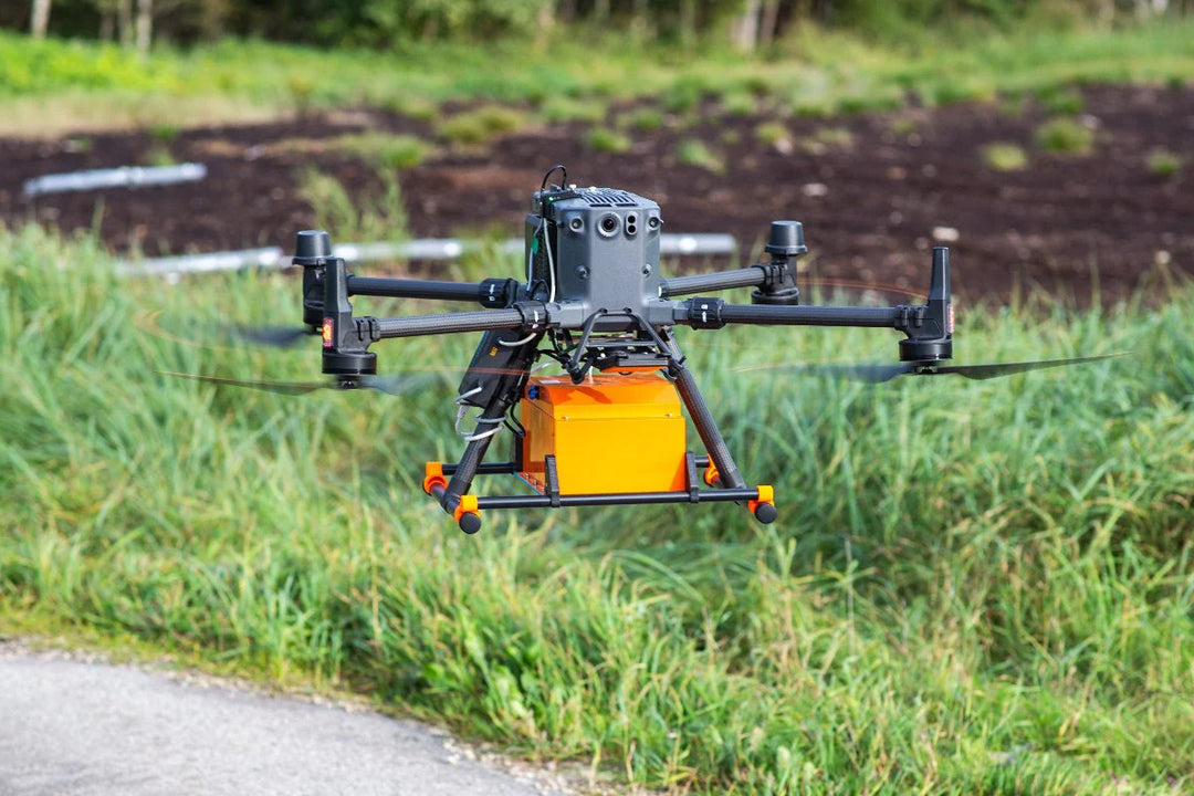
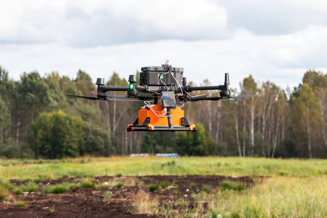
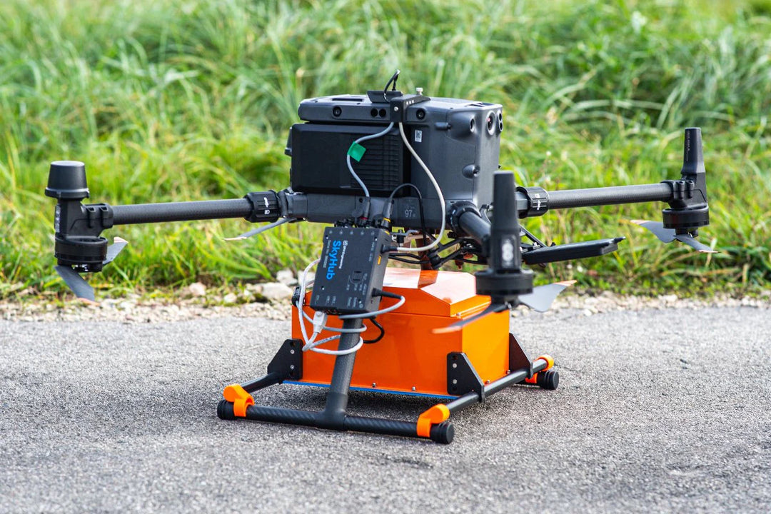
The Radar Systems Zond Aero 1000 NG is a universal, ultra-lightweight ground-penetrating radar system engineered for both airborne and terrestrial surveys. Operating at 1000 MHz with Real-Time Sampling (RTS) technology and advanced built-in digital signal processing, it delivers exceptional signal-to-noise ratio and high-quality subsurface data in a 1.8 kg airborne configuration — making it one of the lightest GPR systems compatible with medium-sized drones such as the DJI M350 and M300 RTK.
Deployment Modes
-
Airborne (UAV) — Drone-mounted for large open-area surveys; compatible with DJI M350/M300 RTK; powered directly from the drone's payload power socket
-
Wheeled Cart — Standard ground survey method for roads, pavements, and confined spaces
-
Tow Rope — Dragged survey for surfaces where a wheeled cart is unsuitable
Key Specifications
| Type |
Single-channel with shielded antenna |
| Center Frequency |
1000 MHz |
| Operating Bandwidth |
600–1300 MHz (-6 dB) |
| Sampling |
Real-Time Sampling (RTS) with high hardware stacking |
| Samples per Scan |
Selectable: 256 / 512 / 1024 / 2048 / 4096 / 8192 |
| Sample Rate |
Up to 1,280,000 (depends on hardware stacking) |
| Scan Rate |
Up to 2,500 scans/s (depends on hardware stacking) |
| Sample Output |
32-bit digital raw data |
| Time Range per Sample |
Selectable: 71 ps / 125 ps / 179 ps / 250 ps / 500 ps / 625 ps / 714 ps / 1 ns |
| Depth |
Up to 2 m (depending on ground properties) |
| Data Format |
Standard Geophysical SEG-Y (.sgy) with trace geotagging |
Environmental Ratings
| Temperature |
-20°C to +60°C (internal) |
| Humidity |
96% non-condensing |
| Ingress Protection |
IP68 in protective case (ground surveys); IP52 in airborne configuration |
Mechanical
| Size |
31 × 19 × 15 cm (airborne) / 52 × 43 × 21 cm (in case) |
| Weight |
1.8 kg (airborne, without drone mounting kit) / 7.0 kg (in protective case) |
Power
| Airborne |
Powered from drone main battery via standard payload power socket |
| Ground Surveys |
Integrated 99 Wh Li-Ion battery in protective case; up to 12 hours operating time |
Applications
- Snow and ice profiling to depths of several meters
- Detection of small objects at depths of a few tens of centimeters
- Utility and buried infrastructure detection
- Void and cavity mapping beneath pavements and structures
- Pavement layer thickness and condition assessment
- Environmental and geophysical site investigation
What's in the Box
- Zond Aero 1000 NG GPR system with 1000 MHz center frequency antenna
- Prism 2 Data Acquisition/Processing software
- NANUK protective case (also used for ground surveys)
- 99 Wh Li-Ion battery integrated into case (ground surveys only)
- Wi-Fi router integrated into case (ground surveys only)
- Charger
- Tow rope for terrestrial surveys
- Mounting kit for DJI M300/M350 RTK (mounts for other drone types available on request)
Important Note
Additional components and software are required to use this GPR system with drones (SkyHub onboard computer, SkyHub Core, and SkyHub GPR software packages). A complete bundle is recommended — contact us for a quote.


 Skip to content