


 Skip to content


The EchoLogger ECT D052S is a professional-grade dual-frequency echo sounder engineered for UAV-based hydrographic surveying. Operating at 50 kHz and 200 kHz simultaneously, the ECT D052S delivers precise depth measurements from 0.5 to 200 meters — with an integrated tilt sensor and temperature sensor for data accuracy in dynamic aerial deployment conditions. Purpose-built for integration with the SkyHub onboard computer via RS232, the ECT D052S transforms DJI Matrice platforms into capable bathymetric survey systems.
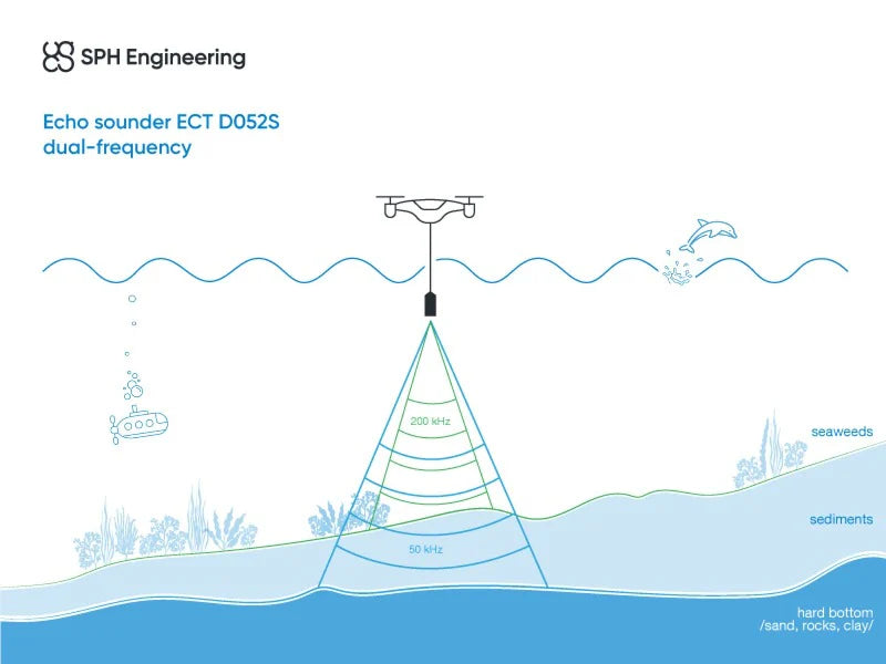
The ECT D052S operates simultaneously at 50 kHz (27° beam, 1.0–200m range) and 200 kHz (7° beam, 0.5–200m range), providing complementary depth data across a wide measurement envelope. The narrow 200 kHz beam delivers high-resolution bottom detection in shallow water, while the wider 50 kHz beam penetrates deeper and handles more complex bottom conditions — giving hydrographic operators the full picture in a single pass.
Built-in tilt and temperature sensors ensure measurement accuracy and data quality throughout the survey flight. Tilt compensation accounts for aircraft attitude variations during dynamic UAV operations, while temperature data supports sound velocity correction for precise depth calculations in varying water conditions.
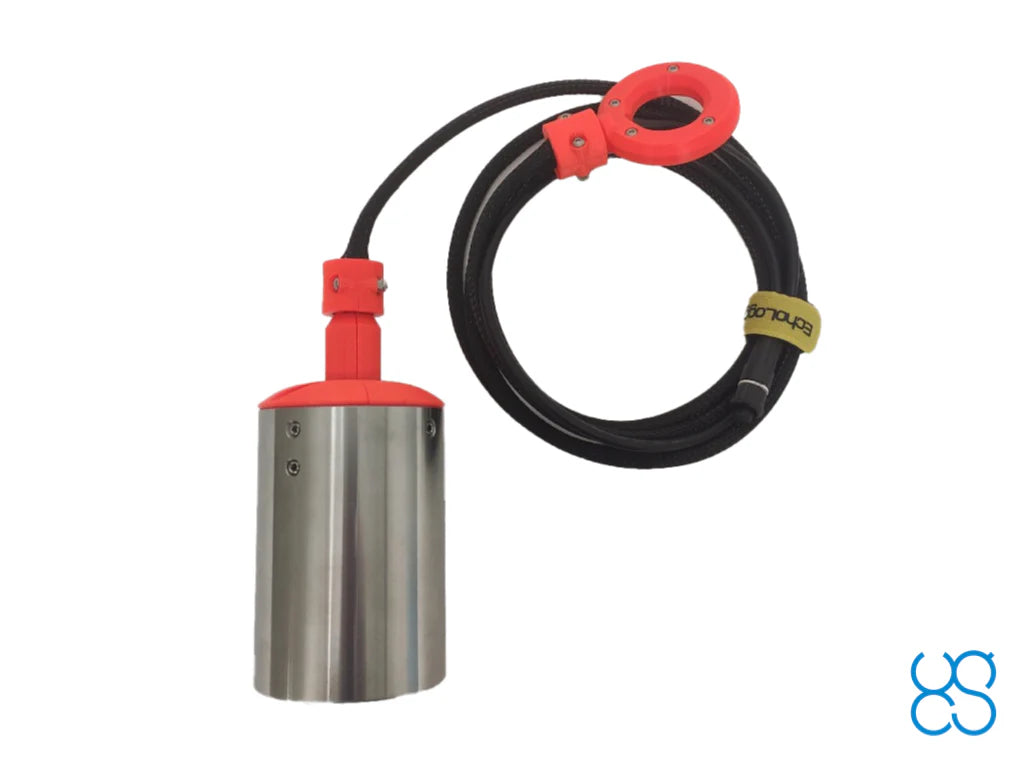
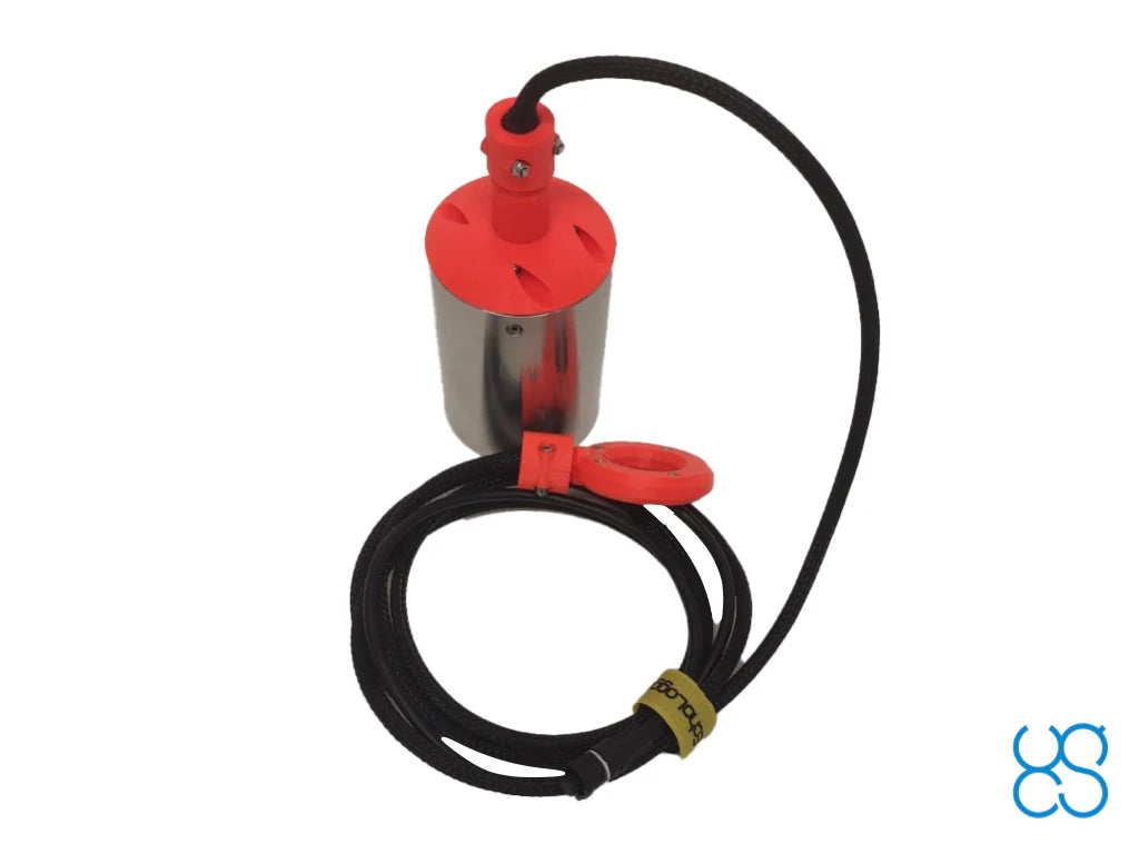
The ECT D052S connects directly to the SkyHub onboard computer via RS232 interface and connector, enabling seamless data acquisition, timestamping, and integration with GNSS positioning for georeferenced bathymetric datasets. The 2.5m cable is protected by a plastic sleeve that also supports the echo sounder and housing weight during flight.
Please note: Additional components and software must be purchased to use this sensor with drones. A full set of required items will be proposed when you request a quote.