CHCNAV Apache 4 Unmanned Surface Vessel — Built for Professional Hydrographic Surveys
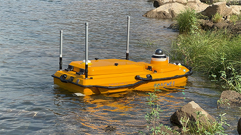
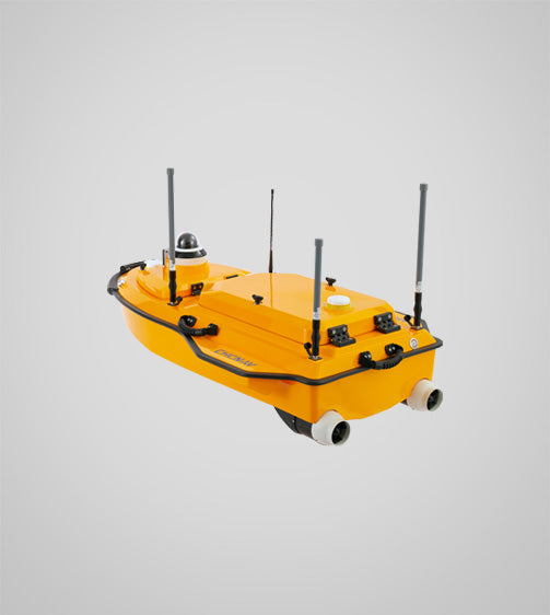
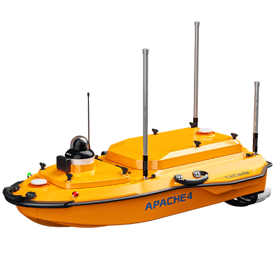
The CHCNAV Apache 4 is a next-generation unmanned surface vessel (USV) purpose-built for high-efficiency hydrographic and bathymetric surveys. Engineered for reliability in shallow, narrow, or hard-to-reach waters, it delivers centimeter-level precision without putting a crew on the water.
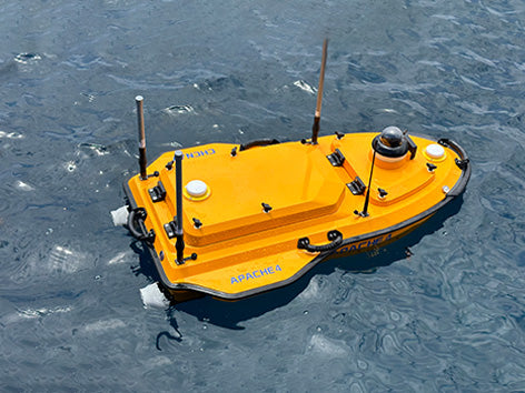
Imagine deploying a fully autonomous survey vessel from the back of your SUV, launching it solo in minutes, and returning with professional-grade bathymetric data — that's the Apache 4.
Key Features
-
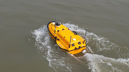
Fully Autonomous Catamaran Design — Stable dual-hull platform optimized for shallow and narrow waterways
-
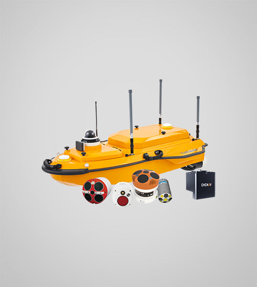
Multi-Beam Echo Sounder Compatible — Preconfigured for MBES, GNSS/INS, LiDAR, ADCP, SSS, and SVS payloads
-
RTK + GNSS + IMU Positioning — Centimeter-level accuracy with CHCNAV or third-party RTK systems
-
Anti-Collision LiDAR & Autonomous Navigation — Intelligent route planning and obstacle avoidance for hands-free missions
-
Jet Pump Propulsion — Debris-resistant design ideal for shallow and cluttered water environments
-
One-Person Deployment — Lightweight, compact, and ready to survey in minutes
Technical Specifications
-
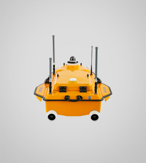
Dimensions: 1.4 × 0.85 × 0.4 m
-
Weight: Approx. 17.5 kg (without payload)
-
Payload Capacity: Up to 15 kg
-
Propulsion: Jet pump system
-
Max Speed: 5 m/s
-
Battery Endurance: Up to 6 hours (payload dependent)
-
Control Range: Up to 5 km (with base station and clear line of sight)
-
Navigation: GNSS + IMU + LiDAR obstacle avoidance
-
Compatible Sensors: MBES, SSS, ADCP, SVS, GNSS/INS
Ideal Use Cases
- Bathymetric surveys
- Reservoir and lake mapping
- Riverbed inspection
- Sediment transport monitoring
- Dam and bridge safety studies
- Environmental and pollution assessment
CHCNAV is a global leader in geospatial innovation. The Apache 4 combines seamless sensor integration, field-proven portability, and autonomous reliability — making it the professional's choice for complex waterborne mapping missions.


 Skip to content