


La carga que transporta una aeronave compuesta de cosas necesarias para el propósito del vuelo.
113 artículos

El MALA GeoDrone 600 es un sistema profesional de radar de penetración terrestre integrado en un UAV que opera a 600 MHz, diseñado para mapeo del subsuelo de alta resolución...
Más información about MALA GeoDrone 600 UAV Ground-Penetrating Radar System

Sistema GPR extraligero, adecuado para drones de tamaño mediano. El Zond Aero LF es un sistema GPR altamente personalizable en cuanto a frecuencias disponibles. Se ha probado con antenas en...
Más información about Sistema GPR: Sistemas de radar Zond Aero LF (baja frecuencia)

The GeoCue TrueView 1 is a compact, high-performance airborne LiDAR and imaging payload engineered for professional UAV survey, mapping, and inspection operations. Available in a range of configurations — from...
Más información about GeoCue TrueView 1 Lite Payload
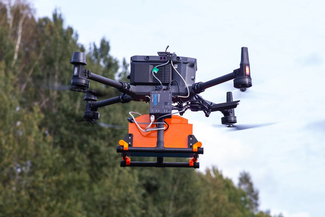
Sistema de radar de penetración terrestre universal para estudios terrestres y aéreos con tecnología de muestreo en tiempo real (RTS) y procesamiento avanzado de señales digitales incorporado para proporcionar datos...
Más información about Sistema GPR: Sistemas de radar Zond Aero 1000 "NG"

Sistema de magnetómetro integrado aerotransportado ultrasensible alimentado por QuSpin QTFM Gen-2 sensores magnetómetros de campo total atómico Las aplicaciones típicas son: Búsqueda de UXO (municiones sin explotar) y minas terrestres en carcasas...
Más información about Magnetómetro atómico de campo total MagNIMBUS

El Radar Systems Zond Aero 600 NG es un sistema profesional de radar de penetración terrestre integrado en UAV que funciona a 600 MHz con tecnología de muestreo en tiempo...
Más información about Radar Systems Zond Aero 600 NG GPR System
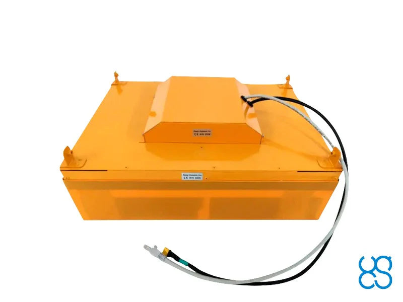
Sistema de radar de penetración terrestre universal para estudios terrestres y aéreos con tecnología de muestreo en tiempo real (RTS) y procesamiento avanzado de señales digitales incorporado para proporcionar datos...
Más información about Sistema GPR: Sistemas de radar Zond Aero 500 "NG"
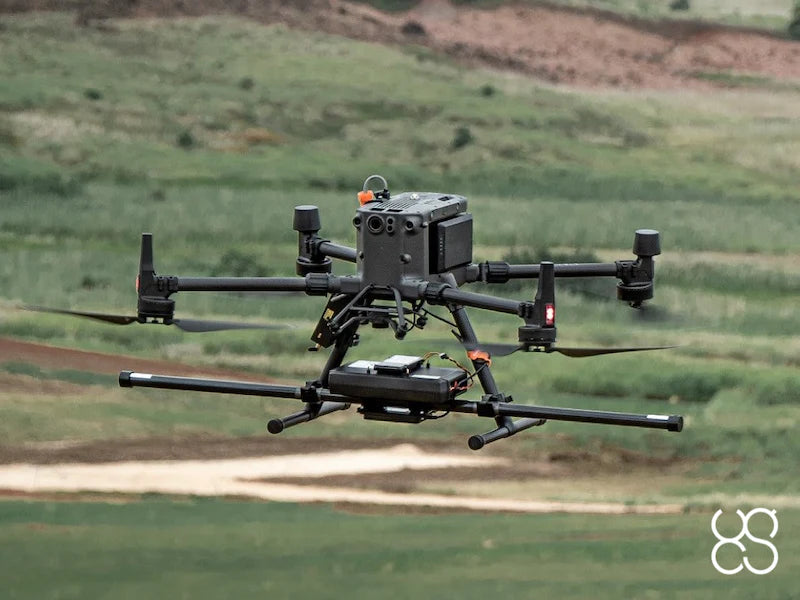
El MagDrone R3 es un magnetómetro ultraportátil que se puede acoplar a cualquier UAV con una carga útil mínima de 1 kg. Aplicaciones recomendadas: En busca de UXO (municiones sin...
Más información about Magnetómetro SENSYS MagDrone R3

Mission-Grade Airborne LiDAR. Five Systems. Every Scale of Survey. CHCNAV Airborne LiDAR Systems deliver professional-grade UAV and airborne LiDAR payloads engineered for large-area mapping, corridor survey, infrastructure inspection, and precision...
Más información about CHCNAV Airborne LiDAR Systems | AA6, AA6D, AA15L, AA15P, AU20

Resumen: El DJI Zenmuse L3 es una carga útil de imágenes de doble cámara y LiDAR de largo alcance diseñada para mapeo aéreo de nivel topográfico, modelado topográfico, inspección de...
Más información about DJI Zenmuse L3 LiDAR & Imaging Payload

Zenmuse L2 integra un LiDAR de cuadro, un sistema IMU de alta precisión de desarrollo propio, y una cámara de mapeo RGB CMOS 4/3, lo que proporciona a las plataformas...
Más información about Zenmuse L2 (NA) Enterprise Care Plus: sistema LiDAR aéreo de alta precisión

Manipulación de precisión. Cuadrúpedo-integrado. Listo para la misión.El Unitree Z1 Pro es un brazo robótico compacto y avanzado diseñado para una integración perfecta con las plataformas cuadrúpedas Unitree Aliengo, B1...
Más información about Brazo robótico Unitree Z1 Pro

Ver todo. No te pierdas nada.El módulo de cámara Deep Robotics M20 Pro PTZ es una carga útil de imágenes con giro, inclinación y zoom diseñada para el vehículo terrestre...
Más información about Deep Robotics M20 Pro PTZ Camera Module

El MagDrone R1 es un magnetómetro ultraportátil que se puede acoplar a cualquier UAV con una carga útil mínima de 1 kg. Aplicaciones recomendadas: En busca de UXO (municiones sin...
Más información about Magnetómetro SENSYS MagDrone R1
Venta

Este DJI Matrice 350 RTK usado es una plataforma UAV empresarial de nivel profesional ofrecida por Maverick con ahorros significativos sobre los nuevos precios minoristas. El M350 RTK es el...
Más información about Pre-Owned DJI Matrice 350 RTK
Cargas útiles FAQ
What is drone mapping?
Drone mapping uses a drone with a camera or LiDAR sensor to capture overlapping images or laser points, then software turns them into orthomosaic maps, 3D models and point clouds for surveying, construction and inspection.
Which DJI drone has LiDAR?
DJI puts LiDAR in a payload rather than the aircraft. The DJI Zenmuse L2 is a high-precision aerial LiDAR system that mounts on DJI Matrice enterprise aircraft. The DJI Zenmuse P1 is DJI's full-frame photogrammetry camera for mapping without LiDAR.
How much does a LiDAR drone cost?
The sensor is the main cost. The DJI Zenmuse L2 is listed at $13,999, and the aircraft is priced separately. A Zenmuse L2 rental is also available for short projects.
Where can I fly a drone to map?
Check the FAA's B4UFLY app or UAS Facility Maps for airspace limits before you fly. Commercial mapping in the US needs a Part 107 remote pilot certificate, and controlled airspace needs an FAA authorization.
LiDAR or photogrammetry: which do I need?
LiDAR measures ground under vegetation and works in low light, so it suits corridors, forestry and terrain models. Photogrammetry with a full-frame camera like the Zenmuse P1 gives high-detail color maps of open sites at a lower cost.
What equipment do I need to start drone surveying?
A survey setup is an enterprise aircraft such as a DJI Matrice, a mapping sensor such as the DJI Zenmuse P1 camera or Zenmuse L2 LiDAR, an RTK base station or network for accurate positioning, and processing software. A Part 107 remote pilot certificate is required for commercial work in the US. Current listed prices in this collection: MALA GeoDrone 600 UAV Ground-Penetrating Radar System, $30,265; Sistema GPR: Sistemas de radar Zond Aero LF (baja frecuencia), $23,946; GeoCue TrueView 1 Lite Payload, $22,890; Sistema GPR: Sistemas de radar Zond Aero 1000 "NG", $22,370; Magnetómetro atómico de campo total MagNIMBUS, $21,999; Radar Systems Zond Aero 600 NG GPR System, $20,360.
Comprar por marca
- DJI
- AUTEL
- Inspired Flight
- Unitree
- Persecución
- QYSEA
- ACSL
- Antigravity
- arcsky
- CHCNAV
- agremo
- Robótica profunda
- AGIBOT
- Booster Robotics
- Flybotix
- UVIRSYS
- Corona
- GeoCue
- Elistair
- SPH Engineering
- Vantage Robotics
- AVSS
- BLV