
 Skip to content




Support · Software
Software for mapping, survey and flight operations.
Photogrammetry, LiDAR, GPR and magnetic data processing, mission planning, payload integration, fleet management and precision agriculture.
Shop by category
Shop software by workflow
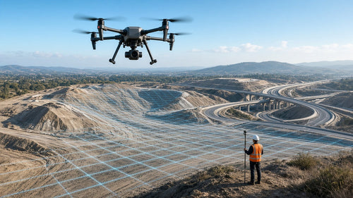

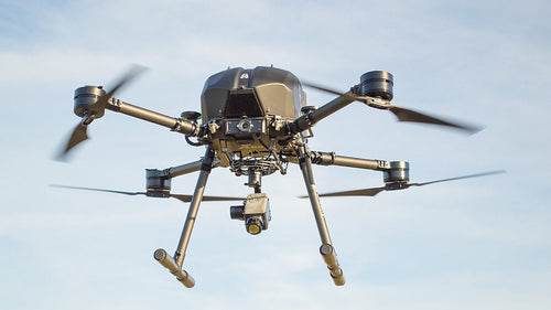

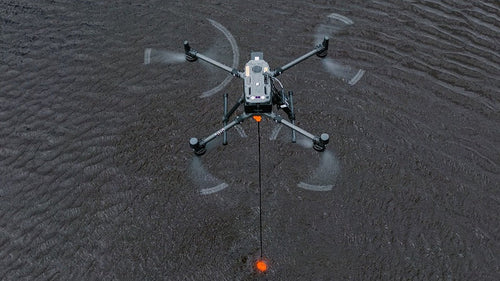

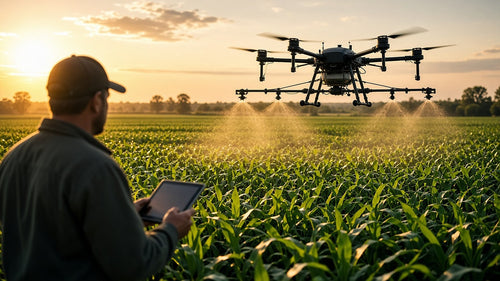
Featured
Featured software

Pix4D
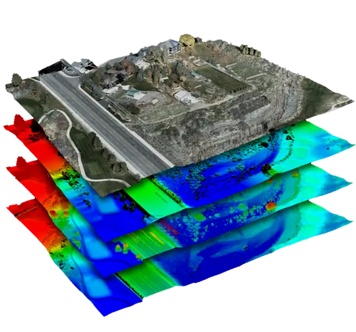
Pix4Dmatic — Large-Scale Photogrammetry Processing Software
From $ 229.00
View details →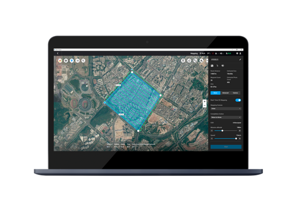
DJI
DJI Terra – 3D Mapping & Reconstruction Software
From $ 1,850.00
View details →
SPH Engineering
SPH Engineering UgCS Expert Perpetual License
$ 1,767.00
View details →
SPH Engineering
SPH Engineering GeoHammer Pro Data Processing Software – Perpetual License
$ 2,964.00
View details →CHCNAV
CHCNAV CoProcess LiDAR & Point Cloud Processing Software
From $ 1,350.00
View details →
Flytbase
FlytBase Enterprise for DJI Dock 3 | Autonomous Drone Fleet Management Software
From $ 4,499.00
View details →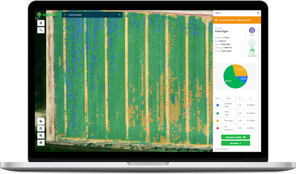
Agremo
Agremo Crop Monitoring Platform | Drone Image Analysis, NDVI, Stand Count & Prescription Maps
From $ 1,950.00
View details →
Pix4D
Pix4Dcloud — Online Drone Mapping & Site Documentation Platform
From $ 129.00
View details →Shop all
All software 3
Filter by brand or availability, and sort by price, name or newest.


Put it to work
Software with the hardware it runs on
Several titles pair with the sensors in our Integrated Systems and the drones used for survey and inspection.
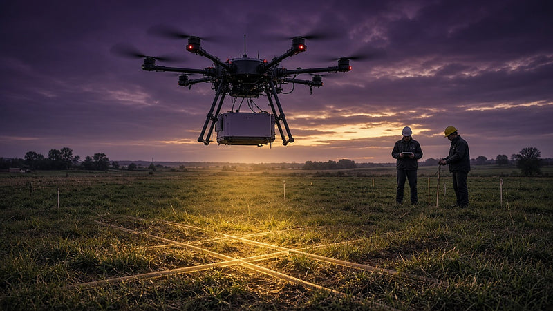 Integrated SystemsDrone-mounted GPR, magnetometer, methane, echo sounder and corona systems.See Integrated Systems →
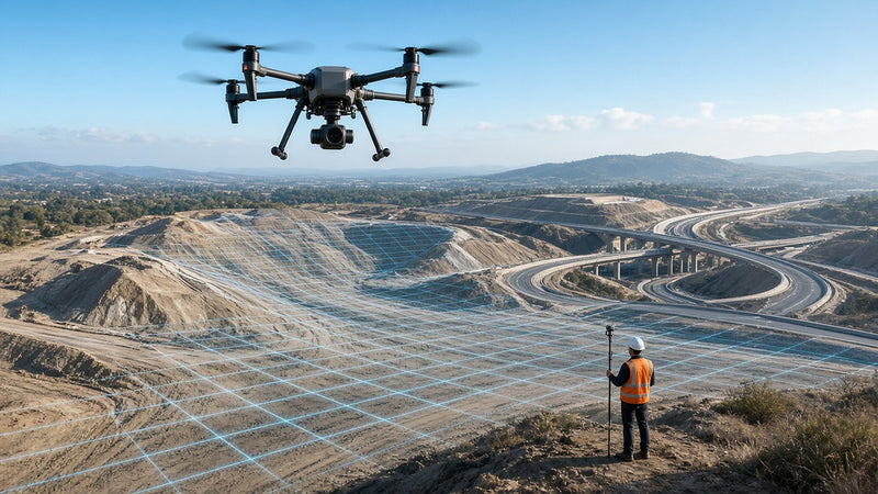 Aerial SurveyingMapping drones, LiDAR and photogrammetry for corridors and large sites.Explore Aerial Surveying →
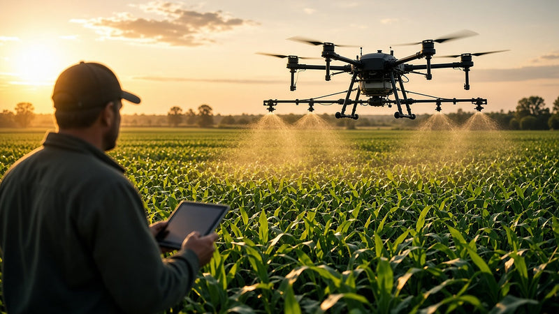 AgricultureSpray drones and multispectral mapping for crop health and yield planning.Explore Agriculture →
 Docks & fleet operationsDocked drones that launch on a schedule or an alarm.Shop docks →
Support
Learn it, finance it, get it quoted.
What software do you carry?
Our Software collection covers photogrammetry and mapping (such as Pix4D and DJI Terra), LiDAR, GPR and geophysical processing (such as CHCNAV CoProcess, SPH Engineering GeoHammer and SENSYS MAGNETO), and mission planning and flight operations (such as SPH Engineering UgCS).
Can software be returned?
No. Software, firmware, digital licenses, activation codes and subscriptions can't be returned once downloaded, installed, activated or registered. See our Return Policy & Terms of Sale.
Do you offer software training?
Yes. Partner courses from SPH Engineering, Pix4D, FlytBase and Inspired Flight are available in our Training collection, or contact us about a custom program.
Can I finance software?
According to BNC Finance, drones, payloads, sensors, software and training can be bundled into one payment. Apply at bncfin.com/maverick. All financing is subject to BNC's credit approval.
Do you accept purchase orders, net terms or tax-exempt purchases?
Yes, with approval. Purchase orders, net terms, tax-exempt purchases and government buyers are handled through accounts authorized by a Maverick director. To set up an account, email sales@maverickdrone.com or call (612) 808-9838.
Not sure which software fits?
Tell us your sensors, deliverables and workflow and we will help you choose. Call (612) 808-9838, Mon–Fri 9 AM–4 PM CT.
About our software collection
Professional Drone & Geospatial Software — Mapping, Survey, Fleet Management & More
From photogrammetry and LiDAR processing to mission planning, fleet management, and precision agriculture — Maverick's software collection covers professional UAV and geospatial operations.
Photogrammetry & Mapping
- Pix4Dmapper — Desktop photogrammetry and 3D mapping software
- Pix4Dmatic — Large-scale photogrammetry processing for high-volume point cloud production
- Pix4Dcloud — Online drone mapping and site documentation platform
- Pix4Dfields — Precision agriculture drone mapping with NDVI and multispectral analysis
- DJI Terra — 3D mapping, reconstruction, LiDAR processing, and Gaussian splatting; annual or perpetual license
LiDAR, GPR & Geophysical Processing
- CoProcess Engineering (CHCNAV) — Full LiDAR point cloud and photogrammetry processing; perpetual license
- CoPre Standard & Airborne (CHCNAV) — Photogrammetry and 3D modeling from UAV imagery and airborne LiDAR
- GeoHammer Pro (SPH Engineering) — GPR data processing and geophysical subsurface mapping; perpetual license
- SENSYS MAGNETO® — Magnetic data processing for UXO detection, mineral exploration, and archaeological survey
Mission Planning & Flight Operations
- UgCS Pro, Expert & Enterprise (SPH Engineering) — Professional UAV mission planning with terrain following, corridor mapping, and LiDAR flight planning; perpetual licenses
- UgCS Commander — Multi-UAV fleet management, swarm operations, and telemetry dashboard
- CHCNAV LandStar 8 — Android field survey software for RTK GNSS and total station control
SkyHub Payload Software (SPH Engineering)
- SkyHub Core — Onboard payload framework for sensor integration and georeferenced data logging
- True Terrain Following — Radar/laser altimeter integration for low-altitude precision flight
- Echo Sounder — Single and dual-frequency bathymetric data logging
- MBES — Multibeam echosounder integration for shallow water hydrographic survey
- Side-Scan Sonar — Acoustic seabed imaging and object detection
- GPR — Ground penetrating radar integration for subsurface mapping
- Methane Detector & Methane Sniffer — UAV gas survey for pipeline inspection and emissions monitoring
- SENSYS MagDrone & MagNIMBUS — Magnetometer and gradiometer payloads for UXO and mineral survey
- Metal Detector — Drone-mounted metal detection payload software
Fleet Management & Analytics
- Airdata Enterprise Fleet Management — Per-drone annual subscription; flight data, predictive maintenance, compliance reporting
- Airdata Enterprise Live Streaming — 1-second latency live streaming, 20 hrs/month; annual subscription
- Nolvis X1 Cloud — 500GB drone data cloud storage and management; annual subscription
Precision Agriculture
- Agremo — Crop monitoring platform with NDVI, stand count, elevation mapping, and prescription maps
- Pix4Dfields — Multispectral and NDVI drone mapping for precision agriculture workflows
Specialty & Developer Tools
- SPH Engineering Drone Show Software — Diamond Package — 100-drone choreography, pyrotechnic sync, timecode integration; perpetual license
- QYSEA Developer License for FIFISH V-EVO — SDK and API access for custom ROV software integration
- ASA Remote Pilot Online Ground School — FAA Part 107 certification prep course
- DatuSurvey Enterprise Perpetual Plan (Datumate) — Drone survey and 3D modeling for construction and infrastructure
Scenes shown are illustrations.