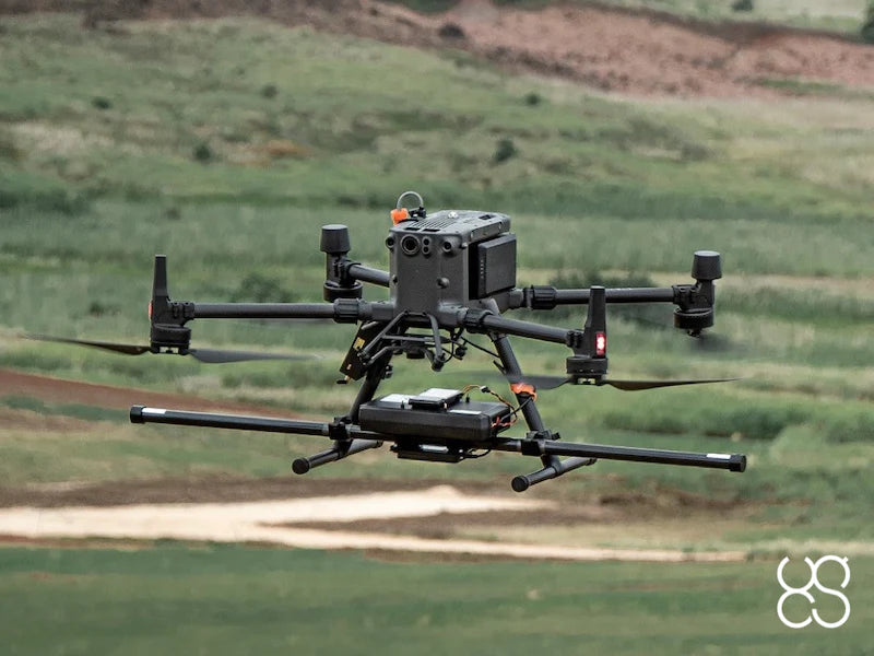
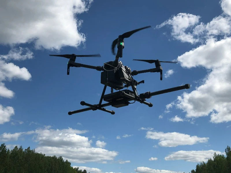
The SENSYS MagDrone R3 is an ultra-portable, dual-sensor UAV gradiometer magnetometer designed for high-sensitivity aerial magnetic gradient surveys. Featuring two triaxial fluxgate sensors on a rigid sensor bar, a built-in data recorder, and integrated GPS with external GPS input support, the R3 delivers survey-grade magnetic gradient data for UXO detection, archaeological investigation, buried infrastructure mapping, and geophysical survey — from any UAV with a minimum 1 kg payload capacity.
Key Design Features
-
Dual Triaxial Fluxgate Sensors — 2× triaxial fluxgate sensors on a rigid sensor bar for simultaneous magnetic gradient measurement; superior anomaly resolution and depth estimation compared to single-sensor systems
-
Built-In Data Recorder — Onboard data logging without requiring an external computer; can also integrate with SkyHub onboard computer for georeferenced, telemetry-synchronized acquisition
-
Integrated GPS + External GPS Input — Built-in GPS for standalone operation (SN000200 and later); external GPS input recommended for enhanced geotagging accuracy, especially when used with SkyHub and RTK-equipped drones
-
MagDrone Data Tool Software Included — Dedicated data management and export software for Windows
-
Broad UAV Compatibility — Attaches to any UAV with a minimum 1 kg payload capacity; recommended platforms: DJI M350 RTK and DJI M300 RTK
What's in the Box
- MagDrone R3 magnetometer with 2× triaxial fluxgate sensors, sensor bar, and built-in data recorder
- MagDrone Data Tool software
- 11.1 V Li-Ion rechargeable battery and wall charger (when used with SkyHub, power is provided from the drone)
- USB cable for connection to Windows computer
- Cable to connect MagDrone R3 to SkyHub GPS-out interface
- Mounting plate and screws (for use with included Li-Ion battery)
- International power plug set
- User manual
- Hard transport case (112 × 29 × 11 cm, 10 kg packaged)
Applications
-
UXO Detection — Detects objects from hand grenades (F1 grenade: ~0.5 m detection range) to large aerial bombs at several meters; suitable for Non-Technical Survey (NTS) and Technical Survey (TS) to confirm presence of ferrous UXO and landmines with significant metal content
-
Buried Infrastructure Detection — Locates metal pipes, shielded cables, and power cables under load
-
Archaeology — Subsurface feature detection and site mapping
-
General Metal Object Survey — Detection of metal objects weighing a few hundred grams or more underground
UXO & Landmine Detection Note
The MagDrone R3 can detect ferrous UXO and certain landmine types (including M15, M6, TM-62M anti-tank mines; M16, PROM-1, OZM-3/4/72 anti-personnel mines and similar types with significant ferrous metal content). However, magnetometers cannot detect most modern landmine types and must never be used to confirm the absence of landmines or small ordnance in an area. The system is a valuable asset during NTS and TS operations for confirming the presence of ferrous UXO.
Operational Guidance
- Fly as low as possible for maximum detection sensitivity — recommended altitude for UXO search: 1 m above surface or lower
- Terrain following system strongly recommended for consistent low-altitude operation (sold separately)
Technical Details
- HS Code: 903180 (meteorological, hydrological, geophysical instrument)
- Packaging: 112 × 29 × 11 cm, 10 kg in transport case


 Skip to content

